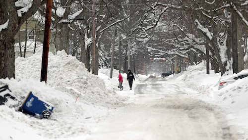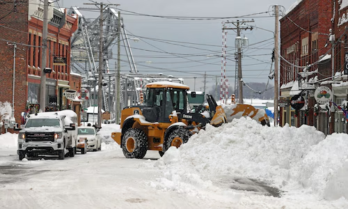
Lake effect snow is one of the most fascinating weather phenomena that can bring heavy snowfalls to specific regions, particularly those near the Great Lakes. While it may seem like a normal winter storm, lake-effect snow warnings often signal something much more localized and intense. In this article, we’ll explore what lake-effect snow is, how it forms, its impact on communities, and how to stay prepared when a lake-effect snow warning is issued.
What is Lake Effect Snow?
Lake effect snow occurs when cold air moves over a relatively warmer lake, causing the moisture from the lake’s surface to evaporate and freeze into snowflakes as the air cools. This process can lead to intense snow showers, particularly along the shores of large lakes like the Great Lakes. The snow produced is typically heavier and can accumulate rapidly, making it a unique and challenging weather event for those living in affected regions.
The phenomenon is most common in the late fall and winter months, but it can also occur in the early spring when conditions are right. The specific areas that experience lake effect snow depend largely on the direction of the wind, the temperature of the air, and the warmth of the lake.
How Lake Effect Snow Forms

For lake effect snow to develop, certain conditions must align:
- Cold Air: The air must be cold enough to support snow. Typically, temperatures of 25 to 35°F (-4 to 1°C) are ideal for snow formation.
- Warm Water: The lake must have relatively warmer water compared to the air. In the case of the Great Lakes, the water temperatures often remain warmer than the surrounding air during late fall and early winter.
- Wind Direction: The wind direction is critical in determining where the snow will fall. Winds from the northwest or west are common causes of lake-effect snow near the Great Lakes. The wind pushes the moist air from the lake into nearby areas, where it cools and condenses into snow.
- Instability: Atmospheric instability is required to enhance the process of moisture condensation. When cold air meets warm, moist air from the lake, it causes upward motion, which helps create the snow.
As the moist air moves over the lake, it picks up more moisture, and when it reaches the land, the cold air forces the moisture to freeze and fall as snow.
What is a Lake Effect Snow Warning?
A Lake Effect Snow Warning is an advisory issued by meteorological agencies, such as the National Weather Service (NWS), to inform the public of expected heavy snowfalls caused by lake-effect snow. These warnings are typically issued when the snow is expected to accumulate rapidly (often more than 6 inches in 12 hours) and can cause significant disruptions to daily life.
Lake effect snow warnings are important because the snow can be extremely localized, meaning that only a small area—often just a few miles wide—may experience the heavy snow, while areas nearby may receive little to no snow at all. This makes lake effect snow particularly tricky for forecasting and preparedness.
Areas Most Affected by Lake Effect Snow
Lake effect snow is most common in regions located near the Great Lakes, particularly in areas downwind of the lakes. The following areas are especially prone to lake-effect snow:
- Buffalo, New York: This city, located on the eastern shore of Lake Erie, frequently experiences lake effect snow, which can sometimes lead to accumulations of several feet in just a few hours.
- Cleveland, Ohio: Cleveland sits along the southern shore of Lake Erie and is often impacted by lake-effect snow, especially during cold, windy weather.
- Chicago, Illinois: Chicago, located on the western shore of Lake Michigan, experiences lake effect snow, though not as frequently or heavily as areas further east.
- Syracuse, New York: Syracuse, located to the east of Lake Ontario, also experiences significant lake effect snow. This area is notorious for heavy snowfalls and whiteouts during the winter months.
- Traverse City, Michigan: This city, situated on the shores of Lake Michigan and the smaller Grand Traverse Bay, experiences lake effect snow and is known for the snowstorms that can disrupt daily activities.
These areas often experience localized snowstorms, with snow bands sometimes stretching for miles and dumping heavy snow, which can create hazardous driving conditions, reduced visibility, and extreme cold.
What Happens During a Lake Effect Snow Warning?
During a lake-effect snow warning, communities can expect the following:
- Heavy Snowfall: Intense snow showers that can accumulate quickly, often leading to several inches of snow in a short period.
- Rapid Snow Accumulation: Due to the heavy, persistent nature of lake effect snow, accumulation rates of 1-2 inches per hour or more can occur. This leads to dangerous driving conditions and possible road closures.
- Whiteouts: Blowing snow and reduced visibility often accompany lake-effect snow, making it difficult to drive or navigate through the affected areas.
- Localized Impacts: As lake effect snow is highly localized, one area may experience heavy snow while nearby regions see little to no snow. This unpredictability makes forecasting and responding to lake-effect snow challenging.
- Wind Chill: The combination of cold air and snow can create dangerous wind chill factors, which can pose health risks like frostbite or hypothermia if individuals are exposed for too long.
How to Prepare for a Lake Effect Snow Warning

If you live in an area prone to lake-effect snow, it’s essential to be prepared when a warning is issued. Here are some tips to help you stay safe during these intense weather events:
- Monitor Weather Updates: Stay informed by listening to local news stations, using weather apps, and paying attention to any official warnings or advisories from the National Weather Service.
- Prepare Your Vehicle: If you need to travel during a lake effect snowstorm, ensure that your vehicle is equipped with winter tires, windshield washer fluid, and an emergency kit with supplies like blankets, water, and snacks.
- Clear Snow from Your Driveway: Keep a shovel or snow blower handy to clear the snow from your driveway and sidewalks regularly to prevent dangerous accumulations.
- Avoid Travel if Possible: If conditions are severe, consider staying home and avoiding travel until roads are cleared and conditions improve. If you must drive, slow down and be cautious of slick roads and low visibility.
- Dress Warmly: Layer your clothing, and wear insulated boots, gloves, and a hat to protect yourself from the cold and avoid frostbite in extreme temperatures.
Frequently Asked Questions (FAQs)
Q1: What is the difference between a lake-effect snow watch and a lake-effect snow warning?
A lake-effect snow watch is issued when lake-effect snow is possible but not yet imminent. It means that conditions could develop into a significant snowstorm. A lake effect snow warning is issued when heavy snow is expected to occur within 24 hours, and significant snow accumulation is likely, with the potential for dangerous conditions.
Q2: How much snow does a lake effect snow warning usually bring?
A lake effect snow warning often indicates snow accumulations of 6 inches or more in 12 hours or less, although it can sometimes bring even heavier snow. Snowfall rates can exceed 1 inch per hour, causing rapid snow accumulation.
Q3: Can lake-effect snow happen in areas outside the Great Lakes region?
While lake effect snow is most common around the Great Lakes, it can also occur near other large bodies of water, such as the Great Salt Lake in Utah or the Finger Lakes in New York. However, it is much more frequent and severe in the Great Lakes region.
Q4: How long does a lake effect snow warning last?
Lake effect snow warnings typically last for 12-24 hours, depending on the severity of the snowstorm. The warning will end when the snow has stopped accumulating, and conditions have improved.
Conclusion
Lake effect snow warnings are an essential part of winter weather forecasting in regions around the Great Lakes. These warnings signal the arrival of intense, localized snowstorms that can cause hazardous driving conditions, significant snow accumulation, and whiteout conditions.
Understanding how lake-effect snow forms and how to prepare for a lake-effect snow warning can help you stay safe and ready for whatever the winter weather brings. Whether you’re living in a lake-effect snow zone or planning to travel through one, it’s crucial to stay informed, plan, and be prepared for the challenges posed by these winter storms.


